VITO and EO4GEO invite you this Wednesday 29 June 2022 to a webinar were you will learn how to delineate agricultural parcels with deep learning, using openEO.
In the training, we will look both at the data science part of this use case (how edge detection in general works, and more specifically, how a U-Net works) and also at the computing side of it. For the computing side, we will be using the openEO platform and its Python client, which is an API that allows users to connect to various earth observation cloud backends using one client syntax. Finally, you will learn how you can make use of openEO yourself for EO data processing.
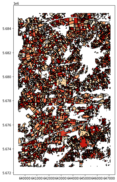
Agricultural parcel delineation is important for a variety of reasons. It aids ministries and the private sector in decision-making and planning. It helps facilitate land registration. It is used in estimating subsidies, regulating water rights, and even for scientific purposes such as climate modeling. Lastly, field delineation can improve classification results in other EO applications such as crop type mapping.
In this webinar, we are going to explore deep learning techniques together with OpenEO to understand edge detection and U-Net and apply these to agricultural fields to identify parcel boundaries.
Speaker: Bart Driessen, VITO
Panelists: Hande Erdem, Jeroen Dries, Bart Driessen
Agenda:
- Introduction
- Field delineation: choosing a model
- History of edge detection
- U-Net
- Pre- and postprocessing
- Field delineation: choosing a platform
- Introduction to openEO
- openEO workflows
- openEO in practice
- Hands-on demonstration using Jupyter Notebooks
Subscribe to our newsletter
Keep yourself updated, receive SPACE4GEO Alliance news and info on new opportunities.
Join the SPACE4GEO Alliance
Be part of the SPACE4GEO Alliance and let’s discuss and work together on the supply and demand of skills in the EO/GIS sector. Stakeholders in the EO, GIS and Skills sectors are more than welcome!
Join a Network pooling together expertise from academia, VET providers, company, public institutions, research centres and sectoral associations with the common goal of fostering skills development in the space and geoinformation downstream sector.