BoK Annotation Tool

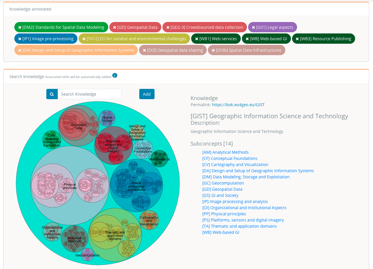
The BoK Annotation Tool (BAT) allows to easily annotate (associate) any PDF document with EO4GEO BoK concepts, to be used later in the BoK Matching Tool (BMT) to discover best matches.
BAT automatically edits the pdf file’s metadata, adding the requested annotations using the Resource Description Framework (RDF).
EO4GEO’s BoK Annotation Tool
To register or not to register? All tools are available for viewing and exploring as an anonymous user.
In BAT you can also download your annotated PDF without registering. However, to create and save your own content, you need to register and join (or create) your organization. You can register in the Login page, either by signing up with a valid email address, or by using your existing gmail account. You join or create your organization in the Organization page from the dropdown menu. User accounts and organizations are shared between all the tools, which means you can use the same user and password for all the tools.
Your created content can be made publicly (for everybody) or privately (only for organization members) visible
Target audiences: All types of audiences.
Examples of use:
- An individual annotates his/her curriculum vitae (in pdf format) with concepts in the EO4GEO BoK to see which job offer best matches with his CV.
- A conference organizer of an EO/GI conference asks authors to annotate their article, to determine fit with reviewers and compile statistics of the topics covered.
- A company annotates its company profile to match with study programs to advertise internships.
Interested?
The EO4GEO BoK tools were developed by the Geospatial Technologies Research Group (GEOTEC) from the University Jaume I, Castellón (Spain) in the context of the EO4GEO project. For more information, CONTACT US.
User support
User guide (PDF 923KB)
Video
Access the application
Subscribe to our newsletter
Keep yourself updated, receive SPACE4GEO Alliance news and info on new opportunities.
Join the SPACE4GEO Alliance
Be part of the SPACE4GEO Alliance and let’s discuss and work together on the supply and demand of skills in the EO/GIS sector. Stakeholders in the EO, GIS and Skills sectors are more than welcome!
Join a Network pooling together expertise from academia, VET providers, company, public institutions, research centres and sectoral associations with the common goal of fostering skills development in the space and geoinformation downstream sector.