BoK Visualization and Search

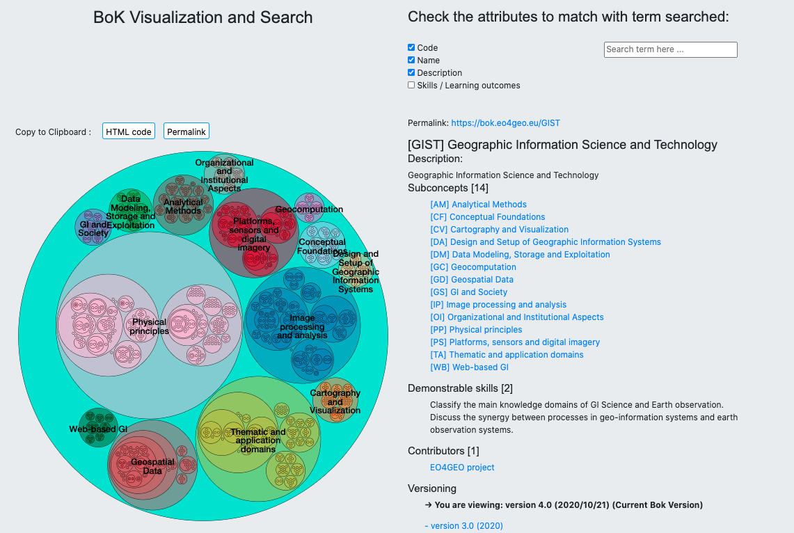
The BoK Visualization and Search tool allows users to navigate and visualize the EO4GEO Body of Knowledge (BoK) in a graphical and textual way.
Starting from higher level concepts, representing areas of knowledge in the field, one can browse down to more detailed concepts.
Each concept has a permanent URL to easily refer to it, a description, relationships to other concepts and associated skills. Previous versions of each concept can also be browsed, and an advanced search is available to search in concepts and their fields.
The BoK Visualization and Search is public, no registration is required.
EO4GEO’s BoK Visualization and Search
Target audiences: All types of audiences.
Examples of use:
- Discover and use a concept (with associated attributes), useful for training material, and share it with students using the permalink.
- Browse the BoK to identify which set of skills your company staff should have in order to offer a new EO product.
- Get a definition of the concept “Normalized Difference Vegetation Index (NDVI)” to be explained to a newcomer colleague.
Interested?
The EO4GEO BoK tools were developed by the Geospatial Technologies Research Group (GEOTEC) from the University Jaume I, Castellón (Spain) in the context of the EO4GEO project. For more information, CONTACT US.
User support
User guide (PDF 708KB)
Accesss the application
Subscribe to our newsletter
Keep yourself updated, receive SPACE4GEO Alliance news and info on new opportunities.
Join the SPACE4GEO Alliance
Be part of the SPACE4GEO Alliance and let’s discuss and work together on the supply and demand of skills in the EO/GIS sector. Stakeholders in the EO, GIS and Skills sectors are more than welcome!
Join a Network pooling together expertise from academia, VET providers, company, public institutions, research centres and sectoral associations with the common goal of fostering skills development in the space and geoinformation downstream sector.