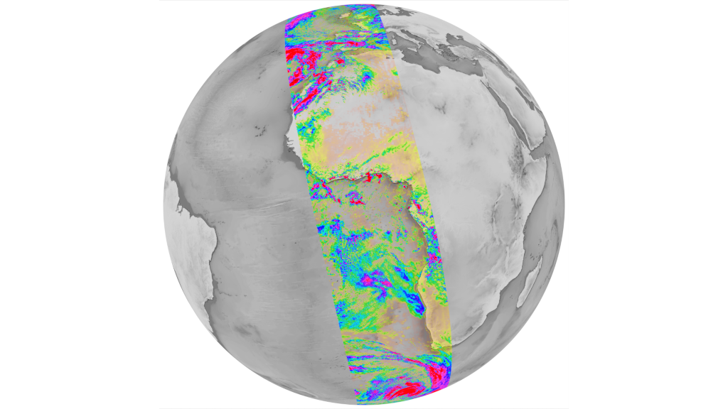
Introduction to Satellite Remote Sensing
Local/Regional Summer School (virtual mode) | From 15 – 18 June 2021
his Local/Regional summer school will be held virtually from 15 to 18 June 2021.
The summer school, organized is by UNIBAS-Potenza (Italy) and held in Italian language focus on understanding Satellite Remote Sensing basic concepts and potential applications in support to natural and environmental risks management by regional public administrations (Environmental Agency, Civil Protection, Agriculture and Forestry Authorities, etc.).
The school is addressed to RPAs technical and management staff of Regional Departments and Agency relevant to Environmental and Civil Protection, Agriculture and Forestry, Water Management, etc.
Participants will acquire the basic concepts of satellite remote sensing and of their applications in the fields of their interest.
Learning outcomes:
- Understanding basic principles of remote sensing from space
- Understanding potential advantages and limits (cost-benefits analysis) of EO-based solutions in specific working contexts.
- Getting to know how to access to those Copernicus based services which are relevant to specific working contexts.

Start/End Date
From 15 to 18 June 2021.
Content
This school is addressed to RPAs staff interested/committed to evaluate the introduction of EO-based solutions in their current or future institutional work.
By participating in the school, they will firstly learn the basic elements of satellite remote sensing science and technology that will allow their actual understanding of the EO-based solutions proposed during the study cases as well as to imagine and propose new ones.
Data
- MSI-Sentinel2 data
- OLI-Landsat8 data
- MSG-Seviri Data
- MODIS-EOS Data
Software
- ESA-Sentinel Application Platform (SNAP)
- EO Browser
- Google Earth Engine
Organizer
The Local/Regional Summer School is organised by UNIBAS (Università degli Studi della Basilicata) in the framework of the EO4GEO project.
Subscribe to our newsletter
Keep yourself updated, receive SPACE4GEO Alliance news and info on new opportunities.
Join the SPACE4GEO Alliance
Be part of the SPACE4GEO Alliance and let’s discuss and work together on the supply and demand of skills in the EO/GIS sector. Stakeholders in the EO, GIS and Skills sectors are more than welcome!
Join a Network pooling together expertise from academia, VET providers, company, public institutions, research centres and sectoral associations with the common goal of fostering skills development in the space and geoinformation downstream sector.