Optical Earth observation data for landslide risk management
An EO4GEO Workshop | 15 April 2021 at 1:00 PM
his workshop was addressed to both landslide researchers in the geosciences and practitioners from landslide risk management in public institutions and at infrastructure operators.
During the workshop, it was discussed how methods for deriving landslide maps from EO data and for modelling susceptibility can contribute to landslide risk management.
The workshop represented one of the training actions about Integrated Applications in the EO4GEO project.
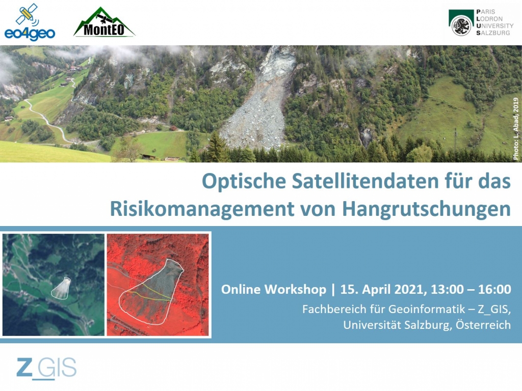
During the workshop, we presented and discussed the research approach and preliminary results from the MontEO project. MontEO employs EO data to assess the impact of mass movements on infrastructure for the particular case of alpine trails and huts.
The workshop aimed for knowledge exchange: beyond giving practitioners an insight in state of the art EO methods for landslide mapping and modelling, researchers gained a better understanding of landslide risk management and its information needs.
![]() This workshop was held in German language.
This workshop was held in German language.
Date
15 April 2021 at 1:00 PM. Time duration: 3 h.
Agenda
Workshop results
The workshop implementation in April attracted researchers and practitioners from the communities of EO*GI and of landslide risk management in Austria and Germany.
The participants engaged in a very active discussion about the capabilities and limitations of Earth observation for landslide risk management. The most important discussion outcome stressed the need for clear communication of the meaning of mapping results to evaluate their value in practice.
Organizer
The workshop was organized by the University of Salzburg, in the framework of the EO4GEO project.
Subscribe to our newsletter
Keep yourself updated, receive SPACE4GEO Alliance news and info on new opportunities.
Join the SPACE4GEO Alliance
Be part of the SPACE4GEO Alliance and let’s discuss and work together on the supply and demand of skills in the EO/GIS sector. Stakeholders in the EO, GIS and Skills sectors are more than welcome!
Join a Network pooling together expertise from academia, VET providers, company, public institutions, research centres and sectoral associations with the common goal of fostering skills development in the space and geoinformation downstream sector.