The EO4GEO Partner EIT Climate-KIC in collaboration with EO4GEO invites you this October 26th at 17:00 CET to an Spark! Experience online workshop where you will learn more about the use and applications of satellite data in climate-change related challenges.
During this event, stakeholders from the institutional, academic, and private sector will give context on the Earth Observation and Geographic Information sector and ongoing initiatives. They will also present their activities and use-cases where they are using Earth observation and geographic information to tackle climate change.
The workshop is targeted to Master and PhD European students from various backgrounds (also non-technical), young professionals and citizens.

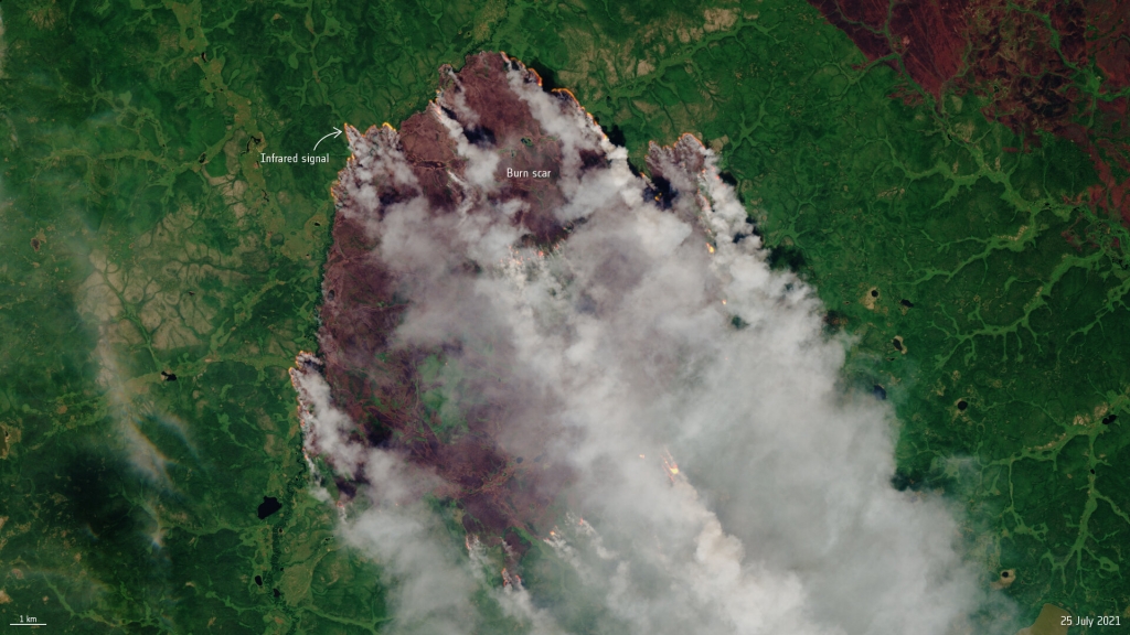
Credit: Copernicus Sentinel data (2021), processed by ESA, CC BY-SA 3.0 IGO
Subscribe to our newsletter
Keep yourself updated, receive SPACE4GEO Alliance news and info on new opportunities.
Join the SPACE4GEO Alliance
Be part of the SPACE4GEO Alliance and let’s discuss and work together on the supply and demand of skills in the EO/GIS sector. Stakeholders in the EO, GIS and Skills sectors are more than welcome!
Join a Network pooling together expertise from academia, VET providers, company, public institutions, research centres and sectoral associations with the common goal of fostering skills development in the space and geoinformation downstream sector.