Earth Observation and Geographic Information: a crucial tool to monitor and tackle climate change
A workshop promoted by EO4GEO | 26 October 2021. 17:00 CEST.
he EO4GEO Partner EIT Climate-KIC in collaboration with EO4GEO invites you this October 26th at 17:00 CET to an Spark! Experience online workshop where you will learn more about the use and applications of satellite data in climate-change related challenges.
During this event, stakeholders from the institutional, academic, and private sector will give context on the Earth Observation and Geographic Information sector and ongoing initiatives. They will also present their activities and use-cases where they are using Earth observation and geographic information to tackle climate change.
The workshop is targeted to Master and PhD European students from various backgrounds (also non-technical), young professionals and citizens.
At the end of the session, the participants will:
- understand what Earth observation and geographic information is,
- how the data is collected, transformed, and used to solve different issues,
- which are the main stakeholders from the sector,
- what type of information is available and how to retrieve it.
Context
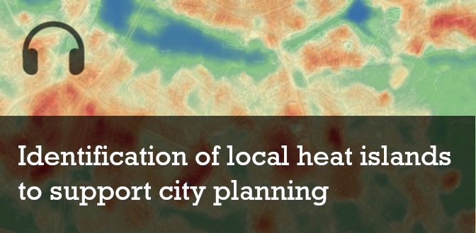
Floods, urban heat islands, pests and disease damaging crops and forest plantations … These trends are all the result of our rapidly changing climate and have repercussion on our livelihoods and health, the economy, our planet’s biodiversity etc. The urgency to understand, plan and mitigate these phenomena is well known and requires immediate action.
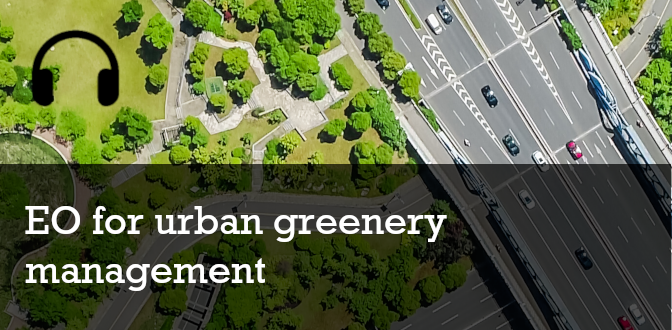
Earth Observation and geographic information collected by satellites have become crucial in this context to provide live information and forecasts to different sectors such as forestry, agriculture, or urban development to name a few. Potential end-users for this information are also infinite as new use-cases are constantly being created to support civil servants, nature managers, farmers, NGOs, companies and the civil society in their activities.
Agenda
The workshop will follow this programme:
Speakers:

Related Training Actions
The following are other EO4GEO training resources we suggest you to follow.

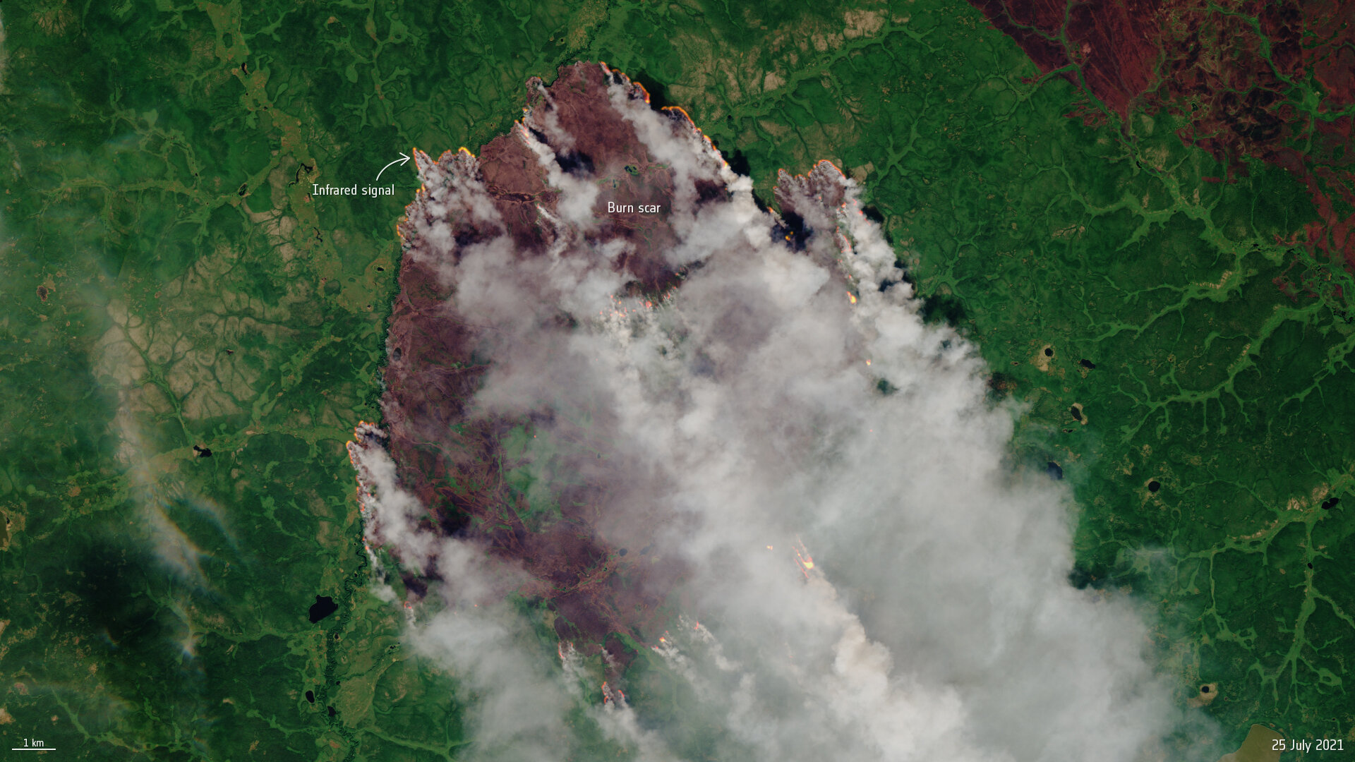
This image captured by the Copernicus Sentinel-2 mission shows one of the many forest fires in the Sakha Republic, Siberia, on 25 July 2021. The image has been processed using the mission’s shortwave-infrared band to identify the active fires.
Credit: Copernicus Sentinel data (2021), processed by ESA, CC BY-SA 3.0 IGO
Subscribe to our newsletter
Keep yourself updated, receive SPACE4GEO Alliance news and info on new opportunities.
Join the SPACE4GEO Alliance
Be part of the SPACE4GEO Alliance and let’s discuss and work together on the supply and demand of skills in the EO/GIS sector. Stakeholders in the EO, GIS and Skills sectors are more than welcome!
Join a Network pooling together expertise from academia, VET providers, company, public institutions, research centres and sectoral associations with the common goal of fostering skills development in the space and geoinformation downstream sector.