Product Description
A webinar focused on the use of EO and GIS data for management and analysis of urban green structures.
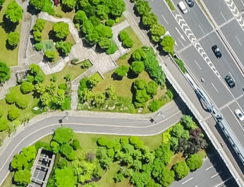
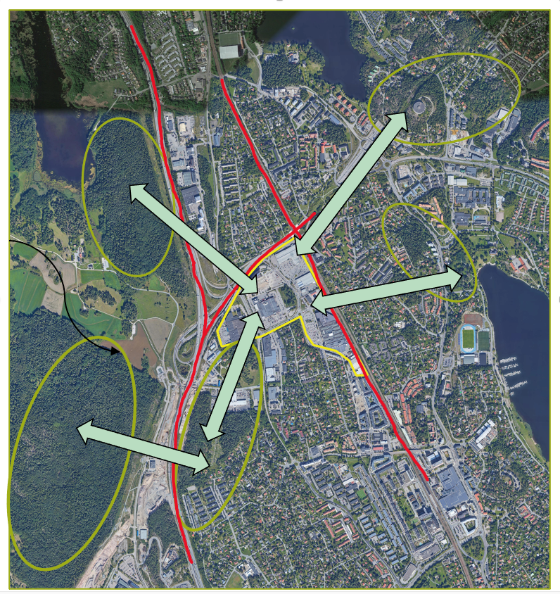
The urban green infrastructure provides a number of important ecosystem services to city habitants. The webinar consists of a theoretical background on green infrastructure and ecosystem services, but also real-world cases exemplified by an extensive urban development planned north of Stockholm metropolitan area.
Participants will learn more about the use of EO and GIS tools, urban green infrastructure and ecosystem services.
The webinar is mainly non-technical and targets planners on different levels in cities or municipalities but also Climate adaption coordinators, GIS technicians, researchers and ecologists.
Learning outcomes
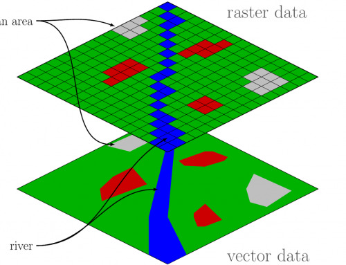
Knowledge about different data sources and analyses available for in spatial planning context.
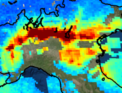
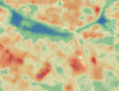
Be aware of the resolution and limitations of the “green values” data.
Discuss and find out how the data can be useful in a planning context.
Understand how to acquire data on urban greenery using remote sensing methods.
Understand how the data acquired can be used to improve urban greenery management, especially in the context of climate change adaption.
Understand how EO-data in combination with other remote sensing data can contribute to the assessment of ecosystem services.
BoK concepts
Links to concepts from the EO4GEO Body of Knowledge used in this course:
Webinar recording
Ownership
The Webinar is organized by Geografiska Informationsbyrån (GiB), in the framework of the EO4GEO project.
Education level
EQF 4-6 (what is this?)
Language
![]() English
English
Creation date
September 8th 2021
Access
+ | The material hosted in our e-learning platform consists of a video recording (duration 1:28) and a presentation.
License: Creative Commons Attribution-ShareAlike.