Product Description
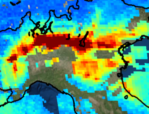
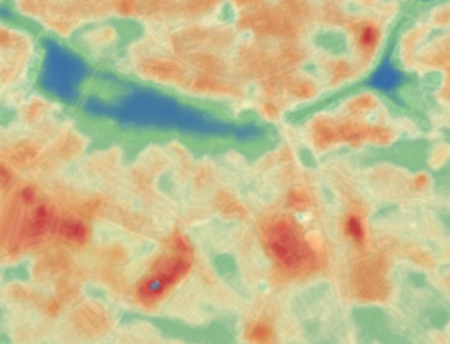
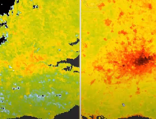
This is a lesson on monitoring the urban heat islands. This beginner’s lesson introduces the student to GIS and vector/raster data.
Learning outcomes
- Design and develop methods for local heat islands detection to support city planning.
Understand basics of RS/EO/GI knowledge.
Identify different remote sensing methods.
Modify spatial data.
Understand GIS vector and raster data.

BoK concepts
Links to concepts from the EO4GEO Body of Knowledge used in this course:
- > DA | Design and Setup of Geographic Information Systems
- > DA3 | Architectural design of a GIS system
- > DA3-7 | Desktop GIS, GIS libraries
- > DA3 | Architectural design of a GIS system
- > AM | Analytical Methods
- > AM13 | Representation transformation
- > IP | Image processing and analysis
- > IP3 | Image understanding
- > IP3-11 | Time series analysis
- > IP3 | Image understanding
- > PP | Physical principles
- > PP1 | Basics of Optical Remote Sensing
- > PP1-7 | Basics of Thermodynamics
- > PP1-7-1 | Temperature and heat
- > PP1-7 | Basics of Thermodynamics
- > PP1 | Basics of Optical Remote Sensing
- > TA | Thematic and application domains
- > TA13 | EO services and applications
- > TA13-5 | Monitor the built environment
- > TA13-5-1 | Monitor urban areas
- > TA13-5 | Monitor the built environment
- > TA13 | EO services and applications
Material preview
Ownership
Designed and developed by: Marijan Grgic, University of Zagreb, Faculty of Geodesy.
License: Creative Commons Attribution-ShareAlike.
Education level
EQF 6 (what is this?)
Language
![]() English
English
Creation date
2020-09-20
Access
Find below a direct link to the HTML presentation.
Find below a link to the GitHub repository where you can download the presentation.