Product Description
A webinar dedicated to the use of remote sensing data in the management of urban greenery.
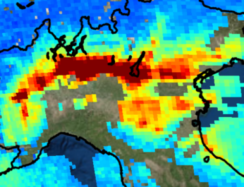
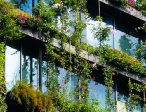
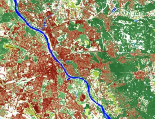
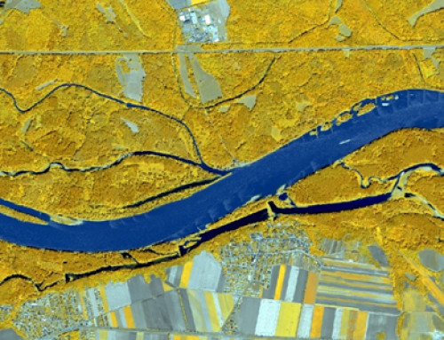
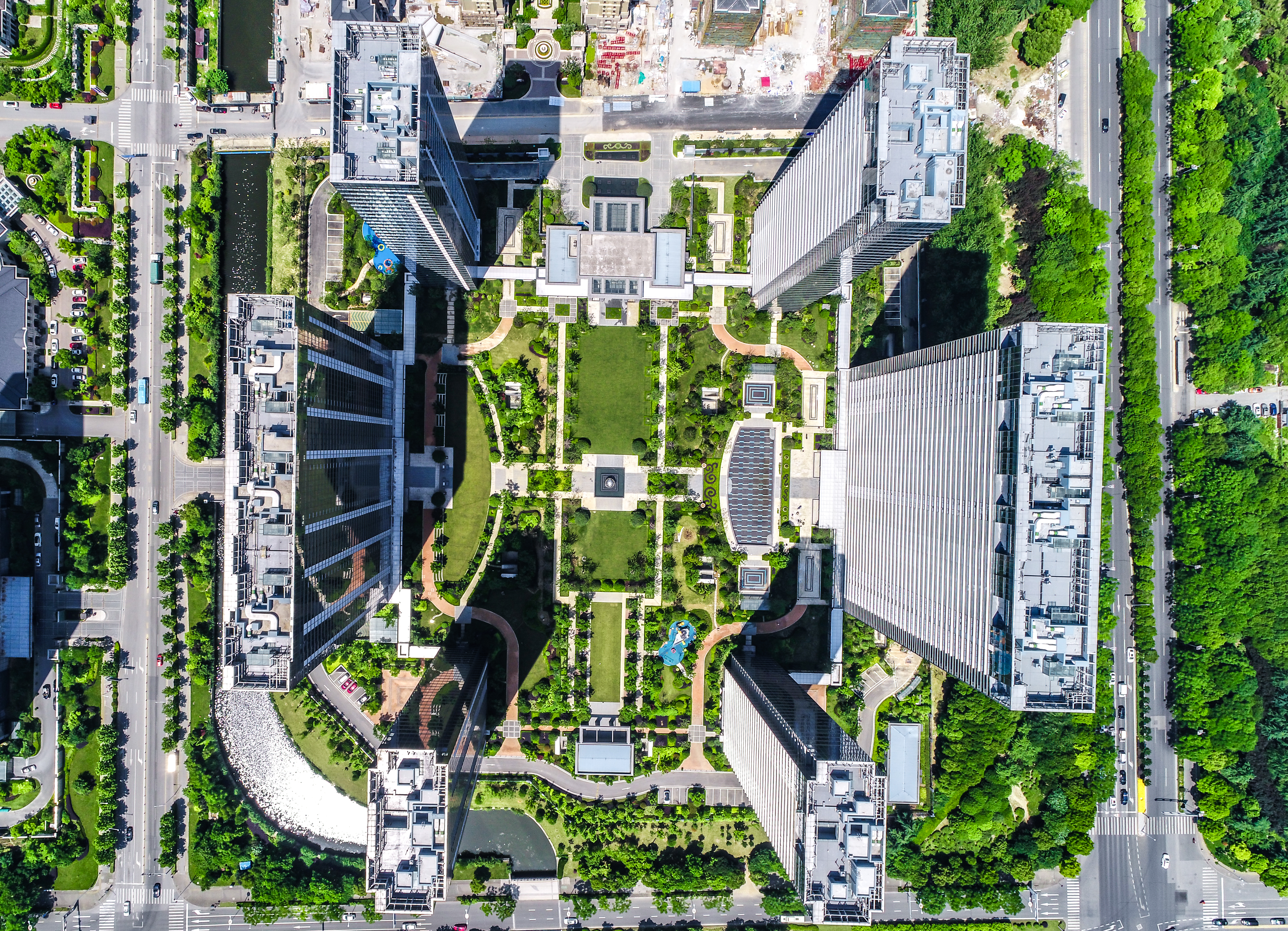
Urban greenery is a key element of a healthy human environment. When properly designed and nurtured, it generates a variety of benefits for the purpose of climate change mitigation and adaptation in urban spaces. In the coming years, urban green management will put more focus on biodiversity conservation, protecting ecosystems and using nature-based solution, including green infrastructure.
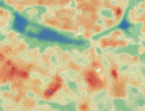
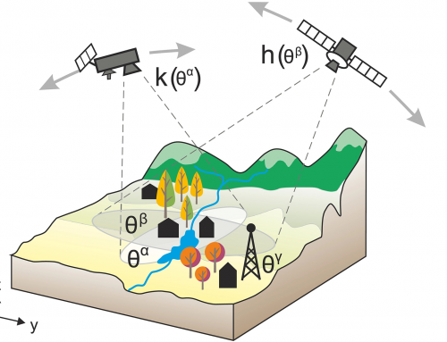
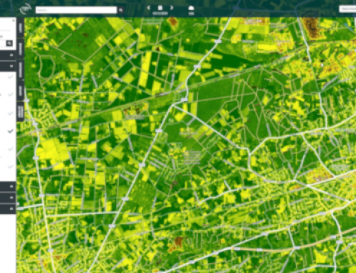
By participating in the webinar the students will understand how to acquire data on urban greenery using remote sensing methods and how such collected data can be used to improve urban greenery management, especially in the context of climate change adaptation.
Learning outcomes
Understanding how to acquire data on urban greenery using remote sensing methods.
Understanding how the data acquired can be used to improve urban greenery management, especially in the context of climate change adaptation.
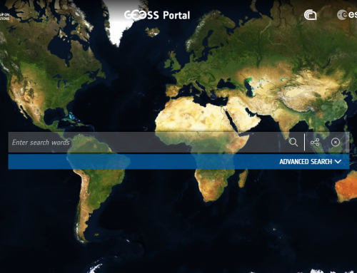
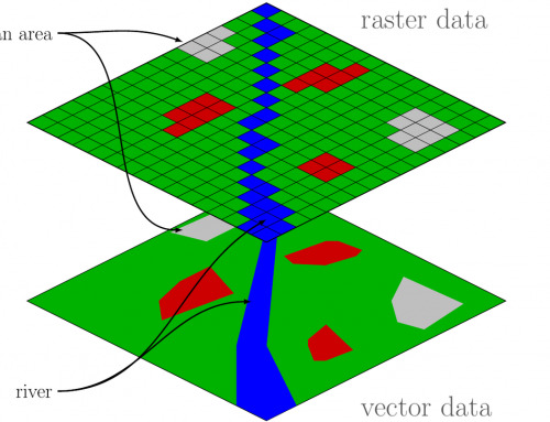
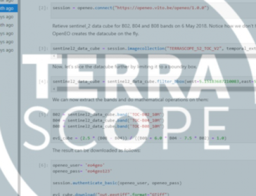
Getting to know the concepts of remote sensing and where to look for satellite data.
BoK concepts
Webinar recording
Ownership
The Webinar is organized by UNEP/GRID-Warsaw Centre, in the framework of the EO4GEO project.
Education level
EQF 3 (what is this?)
Language
![]() English
English
Creation date
April 26th. 2021
Access
+ | The material hosted in our e-learning platform consists of a video recording (1:22) and a slideset.
License: Creative Commons Attribution-ShareAlike.