Product Description
This slideset is a tutorial for a basic analysis of urban heat islands. Within the tutorial SNAP, QGIS and eCognition are used.
Learning outcomes
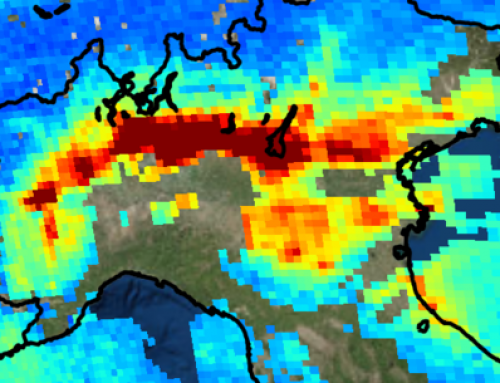
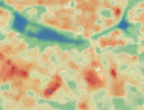
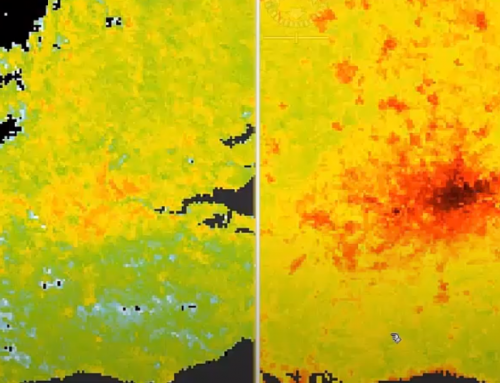
Interpret EO-derived temperature maps.
Identify local heat islands.
See how different land cover affects temperature.
Understand how urban-scale weather/climate information may be usefully employed at urban management.

BoK concepts
Links to concepts from the EO4GEO Body of Knowledge used in this course:
- > AM | Analytical Methods
- > AM5 | Basic analytical methods
- > CV | Cartography and Visualization
- > CV6 | Usability of maps
- > CV6-2 | Map reading and interpretation
- > CV6 | Usability of maps
- > GD | Geospatial Data
- > GD1 | Geolocating Data to Earth
- > IP | Image processing and analysis
- > IP3 | Image understanding
- > IP3-4 |Image classification
- > IP3-5 | Image segmentation
- > IP3 | Image understanding
- > PS | Platforms, sensors and digital imagery
- > TA | Thematic and application domains
- > TA11 | User community of EO services and applications
- > TA12 | EO for societal and environmental challenges
- > TA13 | EO services and applications
- > TA13-1 | Monitor the atmosphere and climate
- > TA13-5 | Monitor the built environment
- > TA13-5-1 | Monitor urban areas
Material preview
Ownership
Designed and developed by: Veronika Krieger, Spatial Services GmbH.
Contributors: Zahra Dabiri, Sara Wimann.
License: Creative Commons Attribution-ShareAlike.
Education level
EQF 6 (what is this?)
Language
![]() English
English
Creation date
2020-07-21
Access
Find below a direct link to the HTML presentation.
Find below a link to the GitHub repository where you can download the presentation.