Product Description
A webinar were you will learn how to delineate agricultural parcels with deep learning, using openEO.
In the training, we will look both at the data science part of this use case (how edge detection in general works, and more specifically, how a U-Net works) and also at the computing side of it. For the computing side, we will be using the openEO platform and its Python client, which is an API that allows users to connect to various earth observation cloud backends using one client syntax. Finally, you will learn how you can make use of openEO yourself for EO data processing.
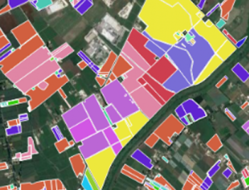
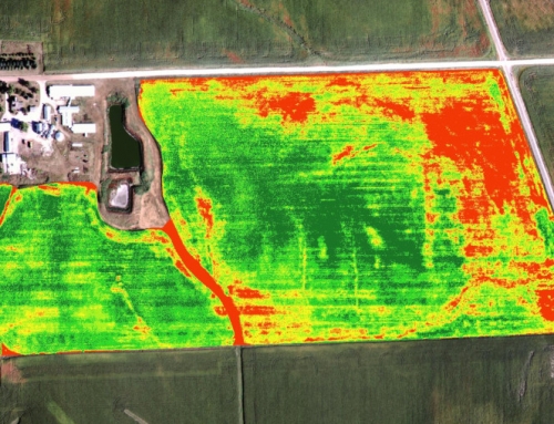
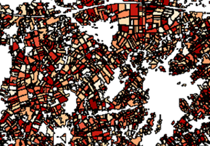
Agricultural parcel delineation is important for a variety of reasons. It aids ministries and the private sector in decision-making and planning. It helps facilitate land registration. It is used in estimating subsidies, regulating water rights, and even for scientific purposes such as climate modeling. Lastly, field delineation can improve classification results in other EO applications such as crop type mapping.
In this webinar, we are going to explore deep learning techniques together with OpenEO to understand edge detection and U-Net and apply these to agricultural fields to identify parcel boundaries.
The webinar is addressed to students, GIS technicians, researchers, professionals in the EO/GI field.
“Accurate and up-to-date information about status, acreage, and the type of agricultural lands is assumed to be a valuable element for diverse agricultural-related agencies (Garcia-Pedrero et al., 2017). This information allows stakeholders among other things to establish agricultural policies (Mirón Pérez 2005; van Der Molen 2002) to reduce greenhouse gas emissions, regulate water rights, and estimate subsidies” (Garcia-Pedrero et al., 2017).
“About 75% of the world’s agricultural lands are small (less than 2 ha) and family operated (Lowder, Skoet, and Raney 2016). This implies highly fragmented agricultural landscapes with a high spatial heterogeneity produced by the diversity in sizes, shapes, and crops of the different agricultural parcels. Therefore, in order to generate precise information about these agricultural lands, a primary requirement is to have a correct delineation at parcel level” (Garcia-Pedrero et al., 2017).
Learning outcomes
Know how a U-Net works and why it was developed.
Know about recent developments in distributed computing and why they are necessary.
Be familiar with basic and more complex operations in openEO.
Be able to do inference of pretrained U-Net models yourself.
Be able to delineate parcels using deep learning.
BoK concepts
Webinar recording
Ownership
The workshop is organised by VITO in the framework of the EO4GEO project.
Education level
EQF 6 (what is this?)
Language
![]() English
English
Creation date
June 29th, 2022
Access
+ | The material hosted in our e-learning platform consists of a video recording (1:34) and presentations.
License: Creative Commons Attribution-ShareAlike.