Product Description
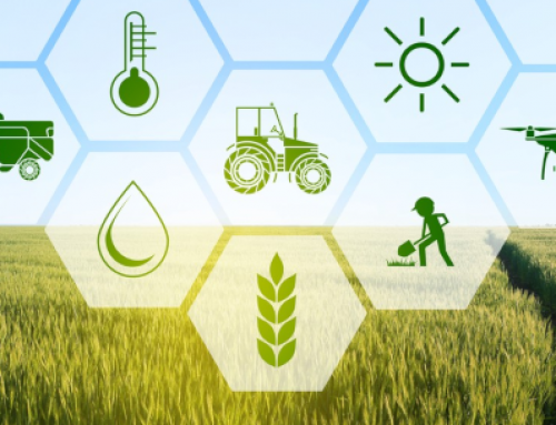
This webinar has the overall objective to promote the new opportunities offered by the Copernicus Programme in dealing with the Common Agricultural Policy (CAP).
The webinar is addressed to farmers, farmers’ organizations and citizens interested in the development of possible future workforce in this sector and in general in Earth Observation/Geospatial applications.
The EU Commission has indeed encouraged Member States for the use of Earth Observation (EO) technologies, especially for monitoring in a continuous way the correct payment of all declared areas for aid.
This initiative arises in the context of the EO4GEO project. Participants will be addressed on how to use EO*GI in the agricultural domain, exploiting the opportunity to access to free training data.
Topics covered by the webinar:
- The Copernicus programme support for the new “Check by Monitoring” application on the EU territory.
- Overview of the EUCAP regulations vs the technical evolution used.
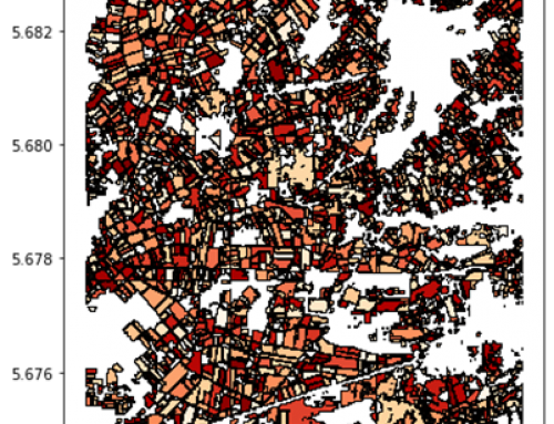
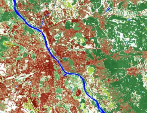
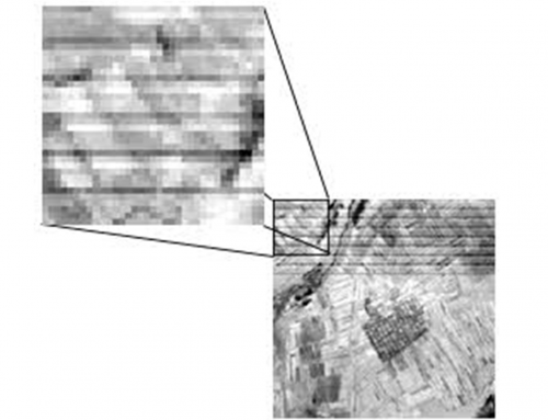
- Brief description of the EO data/products used for the PAC analysis (Sentinel, Landsat, Spot, high resolution satellite, airborne photos, Vector data, cadastre, etc. …).
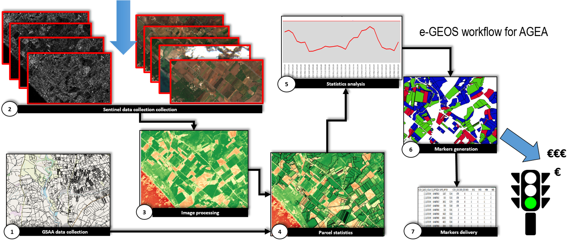
- The Integrated Control System at sampling level and the new Checks by Monitoring through Copernicus data.
- Agro-environmental elements for a sustainable agriculture and climate changes limitations.
- The regional Rural Development measures.
- Point of strength/weakness and perspectives of technical jobs in this sector.
Learning outcomes
Understand the importance of the CAP in Europe.
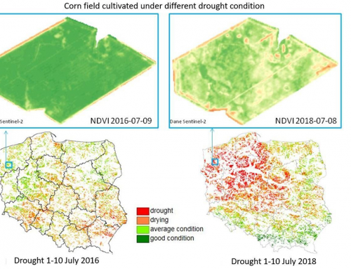
Identify which EO data/products can support the CAP and how.
Understand how to interpret and integrate EO time series useful for agriculture.
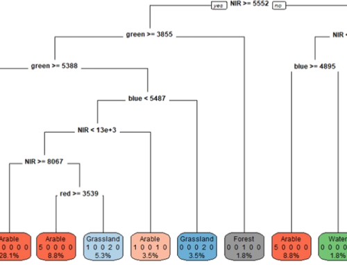
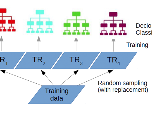
Understand how to derive agro-parcel layers by EO data, to be integrated with other relevant information.
Recognize how to re-use EO data derived information for a sustainable agriculture and climate changes limitation actions.
Become aware of the possibilities offered by the correct use of EO data through spatial and temporal resolutions.
BoK concepts
Webinar recording
Ownership
The Webinar is organized by EO4GEO in cooperation with e-GEOS SpA, the Italian Association of Remote Sensing (AIT), the Institute for Electromagnetic Sensing of the Environment (CNR-IREA), EIT-Climate KIC, Epsilon Italia (EPSIT), Istituto Superiore per la Protezione e la Ricerca Ambientale (ISPRA) and under the auspicious of the Copernicus Programme.


Education level
EQF 3 (what is this?)
Language
![]() English
English
Creation date
April 28th. 2021
Access
+ | The material hosted in our e-learning platform consists of a video recording (duration 1:26) and a presentation.
License: Creative Commons Attribution-ShareAlike.