Product Description
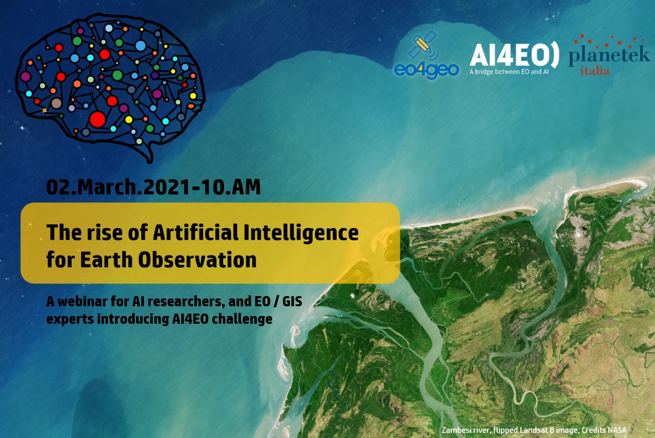
A webinar addressing the use of AI algorithms in EO applications. Participants will become familiar with AI concepts, from machine to deep learning, from unsupervised to supervised methods. Furthermore, applications in object detection, semantic segmentation, classification, clustering, and data augmentation will be showed.
This webinar is developed within the “Integrated Aplications task in the EO4GEO project.
The basic idea of AI algorithms (random forest, Multi-Layer Perceptron, Convolutional Neural Networks, and Generative Adversarial Networks) and how they are useful in the EO applications will be presented.
During the webinar, the AI4EO Project Team would like to introduce the AI4EO initiative and announce the launch of its first official Challenge. AI4EO is an initiative of the European Space Agency’s Φ-lab that aims to bring the worlds of Artificial Intelligence (AI) and Earth Observation (EO) closer together, stimulating and fostering new interaction and collaboration along the way.
The webinar is mainly non-technical, and all AI researchers, EO experts, GIS technicians, and technology enthusiasts are invited.
Learning outcomes
Recognize and explain at a basic level fundamental physical principles of remote sensing.
Recognize and explain at a basic level fundamental physical principles of precision viticulture environmental data monitoring.
Data sources – where to find relevant data, and how to access it.
Data pre-processing – how to pre-process data to use it for further analysis.
BoK concepts
Links to concepts from the EO4GEO Body of Knowledge used in this course:
Webinar recording
Ownership
The webinar is organized by Planetek Italia, in the framework of EO4GEO project.
 |
 |
Education level
EQF 3-4 (what is this?)
Language
![]() English
English
Creation date
2 March 2021
Access
+ | The material hosted in our e-learning platform consists of a video recording (duration 1:46) and a presentation.
License: Creative Commons Attribution-ShareAlike.
