Product Description
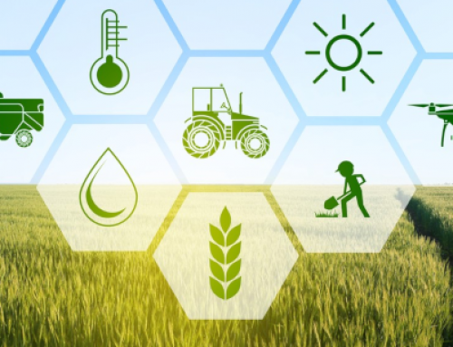
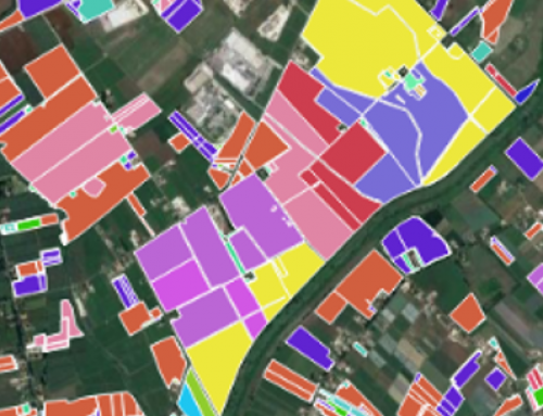
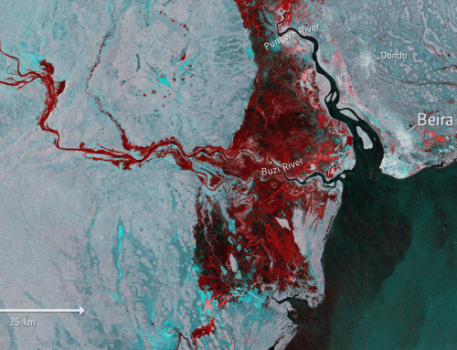
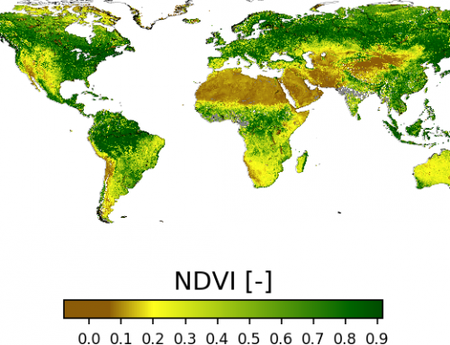
The training material introduces students from agriculture-related study programmes to the basics of remote sensing and Earth Observation, highlighting the use of satellite imagery to create vegetation indices for agricultural monitoring.
This course is in Spanish language.
Learning outcomes
Understand the value of GIS.
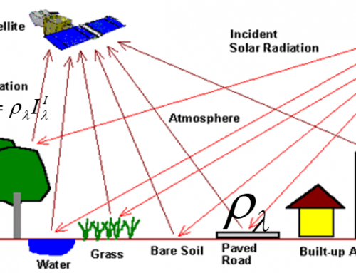
Understand the basics of Remote Sensing for agriculture.
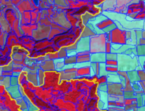
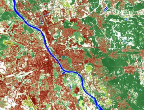
Illustrate the use of satellite imagery to create vegetation indexes.
Discuss the role of satellite imagery for agriculture monitoring.

BoK concepts
Links to concepts from the EO4GEO Body of Knowledge used in this course:
- > CF | Conceptual Foundations
- > CF1b | Introduction to Geographic Information Science and Technology
- > IP | Image processing and analysis
- > IP3 | Image understanding
- > IP3-1 | Band maths
- > IP3-1-2 | Spectral indices
- > IP3-1-2-3 | Normalized Difference Vegetation Index (NDVI)
- > IP3-1-2 | Spectral indices
- > IP3-1 | Band maths
- > IP3 | Image understanding
- > PS | Platforms, sensors and digital imagery
- > PS1 | Types of remote sensing sensors
- > PS1-2 | Passive vs. active sensors
- > PS1 | Types of remote sensing sensors
- > TA | Thematic and application domains
- > TA11 | User community of EO services and applications
- > TA11-1 | Users in managed living resources
- > TA12 | EO for societal and environmental challenges
- > TA13 | EO services and applications
- > TA13-4 | Monitor land
- > TA13-4-1 | Monitor crops
- > TA13-4 | Monitor land
- > TA11 | User community of EO services and applications
Material preview
Ownership
Designed and developed by: Carlos Granell, Universitat Jaume I.
Contributor: Estefanía Aguilar Moreno.
License: Creative Commons Attribution-ShareAlike.
Education level
EQF 6 (what is this?)
Language
![]() Spanish
Spanish
Creation date
2020-11-18
Access
Find below a direct link to the HTML presentation.
The presentation was used in a workshop held on the 18 November 2020 and is also available in our eLearning platform.
Find below a link to the GitHub repository where you can download the presentation.