Product Description
The text provide introductory concepts on detecting changes using EO data. Considerations about quantitative vs qualitative assessment as well as methods and processing steps are also provided.
Learning outcomes
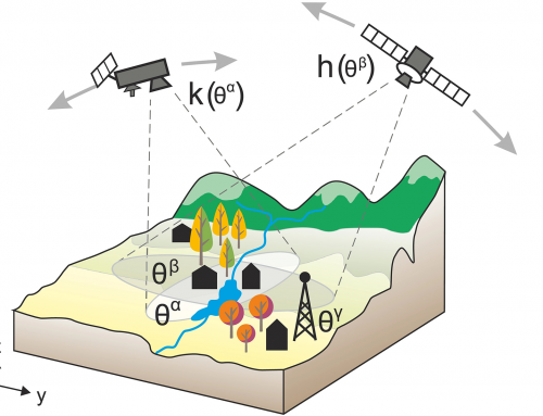
Explain resolution characteristics of remote sensing data in general and of Copernicus Sentinel 1 and 2 in particular.
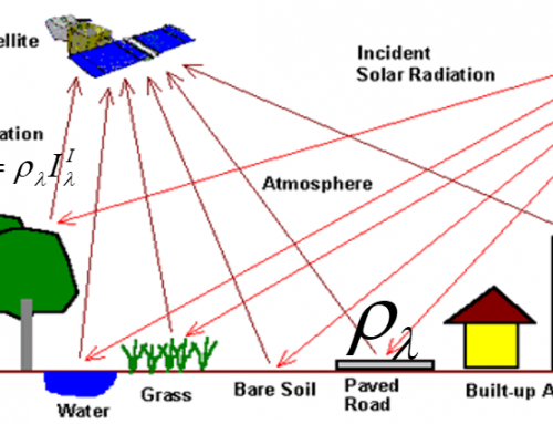
Explain operating principle of passive and active satellites.
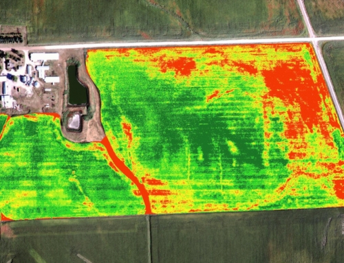
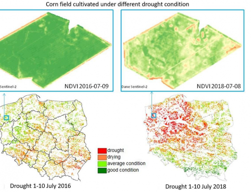
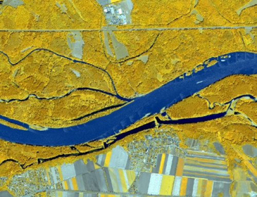
Example on how to detect changes by using a quantitative analysis on land use and land cover.
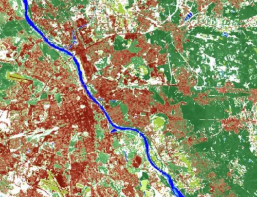
Identify changes during 10 years period by usind Sentinel 1 data.
Indicate and calculate vegetation indices derived from satellite data for change detection in image time series.

BoK concepts
Links to concepts from the EO4GEO Body of Knowledge used in this course:
- > IP | Image processing and analysis
- > TA | Thematic and application domains
- > TA12 |EO for societal and environmental challenges
- > TA13 | EO services and applications
-
Material preview
Ownership
Designed and developed by: Ioana-Maria Vlad Sandru, ROSA.
Contributors: Alina Radutu, Ion Nedelcu.
License: Creative Commons Attribution-ShareAlike.
Education level
EQF 6 (what is this?)
Language
![]() English
English
Creation date
2020-06-20
Access
Find below a direct link to the HTML presentation.
Find below a link to the GitHub repository where you can download the presentation.