Product Description
This is an introductory course about The Copernicus Land Monitoring Service (CLMS) and its components and the data they provide.
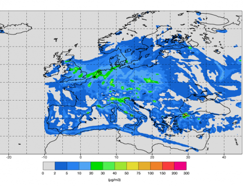
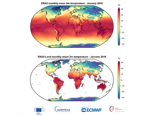
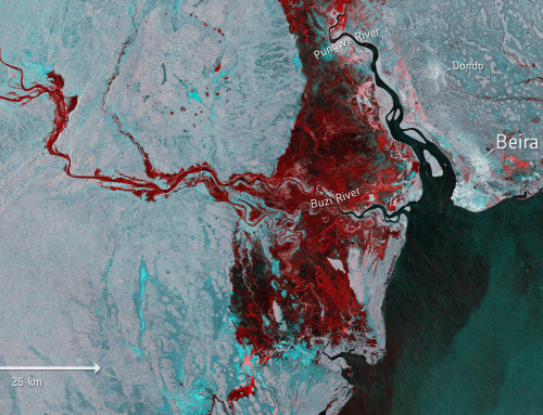
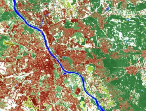
CLMS provides geographical information on land cover to a broad range of users in the field of environmental terrestrial applications. The land theme is divided into four main components: Global, Pan-European, Local and Imagery and reference data. This includes information on land cover characteristics and changes, land use, vegetation state, water cycle and Earth surface energy variables.
The course provides an overview of search engines through which data on land cover can be obtained.
Learning outcomes
Understand the basic concepts of Copernicus Service – Land.
Recognize and select necessary data for a specific purpose within the GI/EO.
Select objects using attribute and spatial queries.
Categorize data within the components of the Copernicus Land Monitoring Service.

BoK concepts
Links to concepts from the EO4GEO Body of Knowledge used in this course:
- > AM | Analytical Methods
- > AM10 | Data mining
- > TA | Thematic and application domains
- > TA11 | User community of EO services and applications
- > TA12 | EO for societal and environmental challenges
- > TA13 | EO services and applications
- > TA14 | Standard EO products
Material preview
Ownership
Designed and developed by: Andrija Krtalic, University of Zagreb, Faculty of Geodesy.
License: Creative Commons Attribution-ShareAlike.
Education level
EQF 6 (what is this?)
Language
![]() English
English
Creation date
2020-08-20
Access
Find below a direct link to the HTML presentation.
Find below a link to the GitHub repository where you can download the presentation.