Product Description
A webinar about the usage of EO, GNSS and GIS technologies for fast disaster response with emphasis on surface displacement monitoring and delivery of computed information to public.
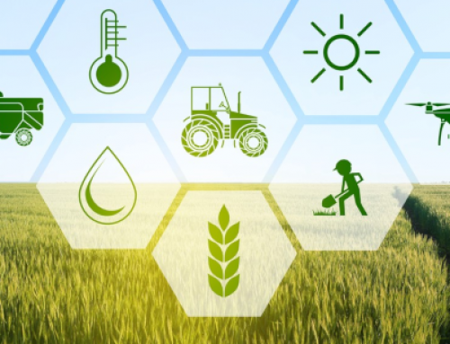
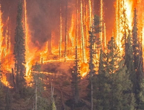
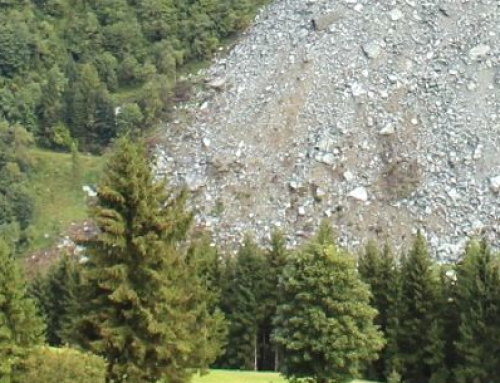
The participants will get an overview of usage of EO, GNSS and GIS technology in case of catastrophic earthquakes and information which can be gained from those technologies to provide information about the behaviour and displacements caused by the earthquake and providing support to rescue services and delivering information to general population.
The webinar includes theory and practice about InSAR and GNSS technology and targets geo-professionals and researchers who are interested in disaster risk reduction and management of catastrophic events.
Topics covered by the webinar:
- Introduction, explaining necessity of providing ground displacement information in fast response to the catastrophe and describing technologies which can be used.
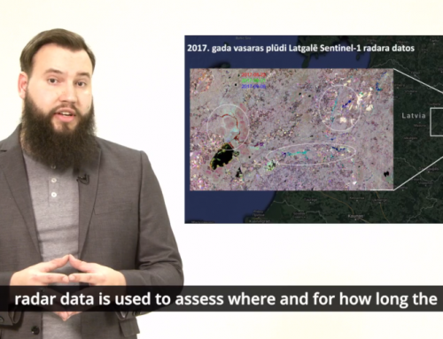
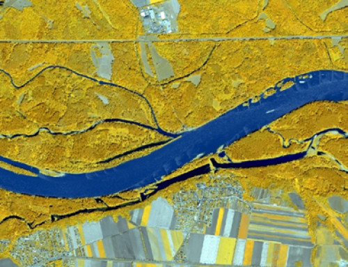
- Introduction and basics of InSAR technology: Earth observation systems in support to disaster management, Copernicus program, Sentinel 1 data types and access, satellite interferometry. Hands on InSAR data and processing tool.
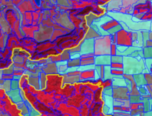
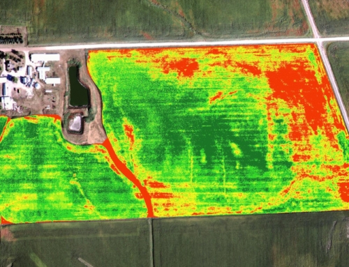
- Processing of InSAR data for land displacement monitoring (Guides and steps through Sentinel-1 data processing for place and time, automatization of the processes and interferogram computations). Analysis, interpretation, and visualization of the results.
- GNSS (systems, current status, permanent networks, reference systems), methodology (GNSS receivers, error sources). GNSS observation methods, positioning methods, capability. Observation data sources, spatial and temporal frame, observation data types and structure.
- Data processing (online) tool(s). Results analysis, visualization and interpretation of results; comparison of results gathered with other techniques (e.g. InSAR).
- Quality assurance in computation and interpretation process and information dissemination activities.
Learning outcomes
Understanding the role of professionals in case of disastrous earthquake.
Understanding what and how should be undertaken by professionals in case of disastrous earthquake.
Become familiar what can be done with EO/GI technology in case of disastrous earthquake.
Getting to know how to use EO and GNSS data and GI tools for support of disaster rescue and recovery activities.
BoK concepts
Links to concepts from the EO4GEO Body of Knowledge used in this course:
Ownership
The webinar is organized by the University of Zagreb Faculty of Geodesy EO4GEO team in collaboration with Erasmus+ projects GEOBIZ, SEED4NA and UN4DRR.
Education level
EQF 6-7 (what is this?)
Language
![]() English
English
Creation date
12-13-14 of July 2021
Access
+ | The material hosted in our e-learning platform consists of a series of 3 video recordings and 6 slidesets.
License: Creative Commons Attribution-ShareAlike.