Product Description
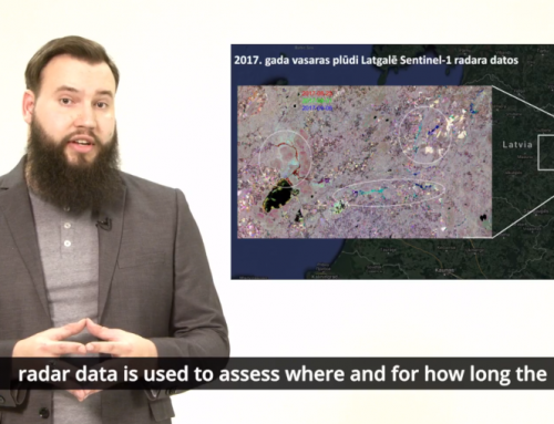
This presentation gives a basic overview on the use of Earth observation data from Synthetic Aperture Radar (SAR) systems for flood mapping. It was prepared using modified EO College resources.
Learning outcomes
Understand the basics of imaging radar.
Understand interaction bewteen Synthetic Aperture Radar (SAR) signal and water.
Apply flood mapping using SAR data.

BoK concepts
Links to concepts from the EO4GEO Body of Knowledge used in this course:
- > PP | Physical principles
- > PP2 | Microwave remote sensing
- > PS | Platforms, sensors and digital imagery
- > PS1 | Types of remote sensing sensors
- > PS1-3-1-1 | Imaging Radar
- > PS1 | Types of remote sensing sensors
- > TA | Thematic and application domains
- > TA13 | EO services and applications
- > TA13-3 | Assess disasters & geohazards
- > TA13-3-1 | Map and assess flooding
- > TA13-3 | Assess disasters & geohazards
- > TA13 | EO services and applications
Material preview
Ownership
Designed and developed by: Martyna Stelmaszczuk-Górska, University of Jena.
Contributors: Clémence Dubois, Carsten Pathe
License: Creative Commons Attribution-ShareAlike.
Education level
EQF 6 (what is this?)
Language
![]() English
English
Creation date
2020-11-13
Access
Find below a direct link to the HTML presentation.
Find below a link to the GitHub repository where you can download the presentation.