Product Description
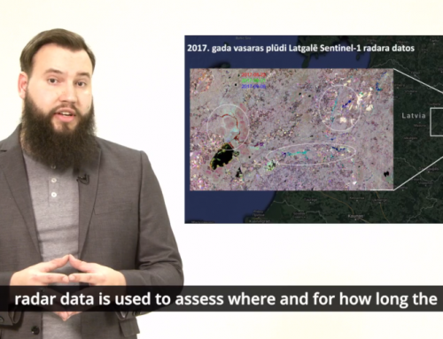
A webinar on the basics of image processing for active fire detection, showing how to download, process, analyse and visualize the free data acquired by the Copernicus satellites.
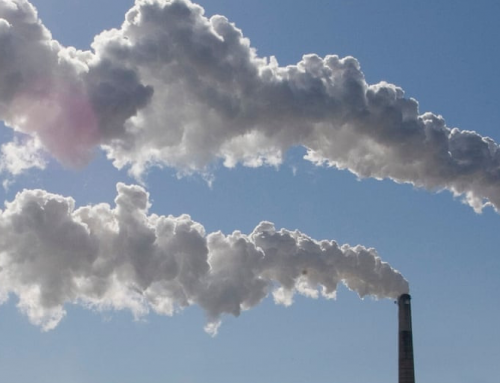
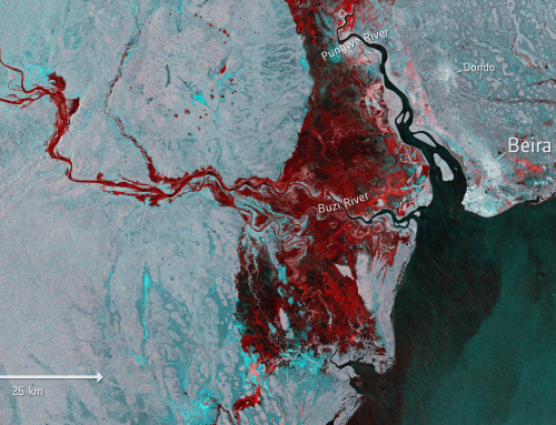
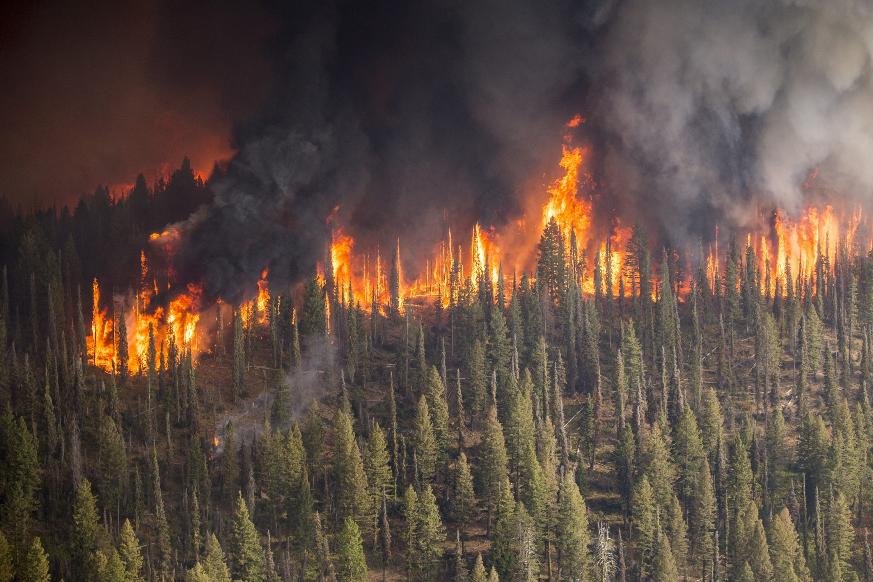
Wildfires are a recurrent hazard in Europe and at the global level. They cause a large economic and environmental damages and often result in the loss of human lives. It is thus essential to provide early warning and to increase preparedness to prevent wildfires and, when this is not possible, to minimize the damages caused by them.
Losses by wildfires in Europe are conservatively estimated in about 2.700.000 Million Euro every year. Vegetation fires are usually very dynamic in their magnitude, impact, and location. That is why early information about active fires in remote areas such as forest or grasslands is very important.
Satellite imagery provides an ideal tool for large scale active fire monitoring due to its spatial and temporal coverage, furthermore data acquired form Copernicus Sentinel satellites are provided under open and free policy for all applications and uses.
The purpose of this webinar is to focus on the basics of image processing for active fire detection, showing how to download, process, analyse and visualize the free data acquired by the Copernicus satellites. We will use the ESA SNAP Sentinel-3 Toolbox to demonstrate the methodology to detect active fires with the SLSTR instrument onboard Sentinel-3.
Learning outcomes
Understanding how the data should be processed in order to be able to perform the analyses.
Understanding the concept and characteristics of Sentinel-3 SLSTR instrument and data it provides.
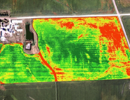
Getting to know the concept of active fire detection using Sentinel-3 data (night and day-time detection).
Identification of pixels containing active fires.
Visualizing the analyses results.
BoK concepts
Links to concepts from the EO4GEO Body of Knowledge used in this course:
- [CF] Conceptual Foundations
- [IP6] Image processing (value) chain
- [GS3-4] Use of geospatial information in environmental issues
- [TA12] EO for societal and environmental challenges
- [TA12-1] EO for climate change mitigation & adaptation
- [TA13] EO services and applications
- [TA13-3] Assess disasters & geohazards
- [TA13-3-2] Detect and monitor wildfires
Webinar recording
Ownership
The webinar is organised by EO4GEO’s Associated Partner Serco EO Training in collaboration with the EO4GEO project.

Education level
EQF 3 (what is this?)
Language
![]() English
English
Creation date
28 October 2021
Access
+ | The material hosted in our e-learning platform consists of a video recording (54 minutes) and a slideset.
License: Creative Commons Attribution-ShareAlike.