| Webinar recording![]()
Fast disaster response – satellite technologies for surface displacement monitoring
Radmin 2025-09-01T10:54:48+00:00| Webinar recording
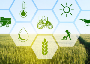
Observando desde el espacio: Agricultura y medio ambiente
Radmin 2022-03-21T17:17:28+00:00 | Lecture![]()