Product Description
This is a training material on Sentinel-2 data and vegetation indices. It is divided into two modules: 1) Introduction to spectral indices and 2) Application of vegetation spectral indices.
Learning outcomes
Learn about the principle of the spectral index calculation.
Familiarize with different vegetation spectral indices.
Get to know the Sentinel-2 spectral bands.
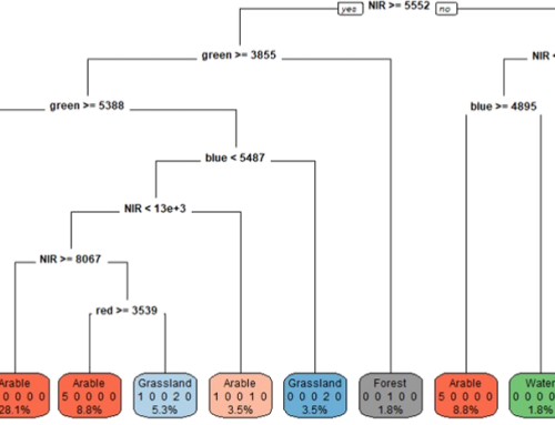
Learn about the index database and tools available to calculate indices.
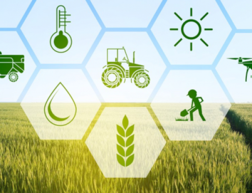
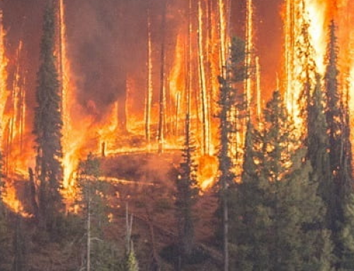
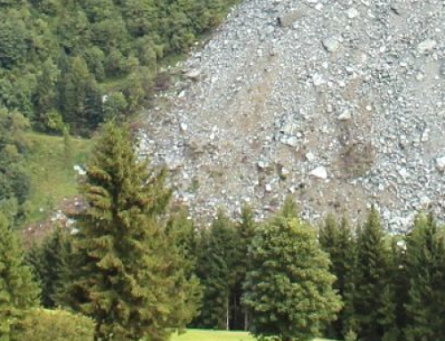
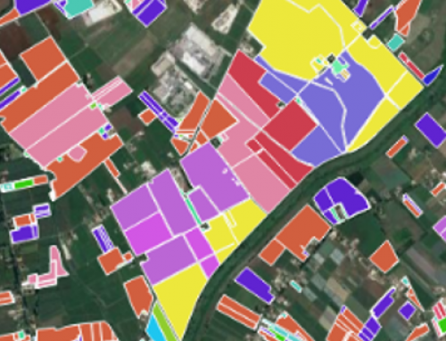
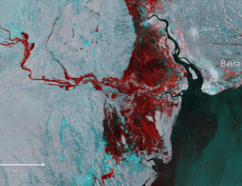
Learn how the spectral indices are used in different applications: agriculture, forestry, vineyards, natural hazards: fires, windstorms.

BoK concepts
Links to concepts from the EO4GEO Body of Knowledge used in this course:
- > IP | Image processing and analysis
- > IP3 | Image understanding
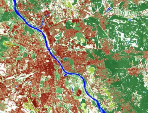
- > IP3-1 | Band maths
- > IP3-1-2 | Spectral indices
- > IP3-1 | Band maths
- > IP3 | Image understanding
- > PP | Physical principles
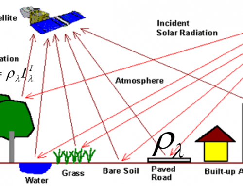
- > PP1 | Basics of Optical Remote Sensing
- > PP1-1 | EM radiation
- > PP1-3 | Sensing of EM radiation.
- > PP1-3-3 | Spectral Signatures of the matter
- > PP1-3-4 | Spectral Signature of Vegetation, Water, Soil
- > PP1-3-3 | Spectral Signatures of the matter
- > PP1 | Basics of Optical Remote Sensing
Material preview
Ownership
Designed and developed by: Agata Hościło, IGiK.
Contributors: Valerio Tramutoli, Nicola Capece, Valeria Satriano – University of Basilicata; Sara Wiman, Greger Lindeberg – Geografiska informationsbyrån
License: Creative Commons Attribution-ShareAlike.
Education level
EQF 6 (what is this?)
Language
![]() English
English
Creation date
2020-09-14
Access
Find below a direct link to the HTML presentation.
Find below a link to the GitHub repository where you can download the presentation.